The Montana Rancher Whose Property Line Went All the Way to Japan
When Paperwork Gets Creative
In 1947, Harold Wickham thought he was buying a simple cattle ranch outside Billings, Montana. The 2,400-acre spread came with decent grazing land, a reliable water source, and what appeared to be straightforward property boundaries. What he didn't know was that a rushed county clerk's description of his western border would eventually make legal scholars question whether his family owned a chunk of the Pacific Ocean.
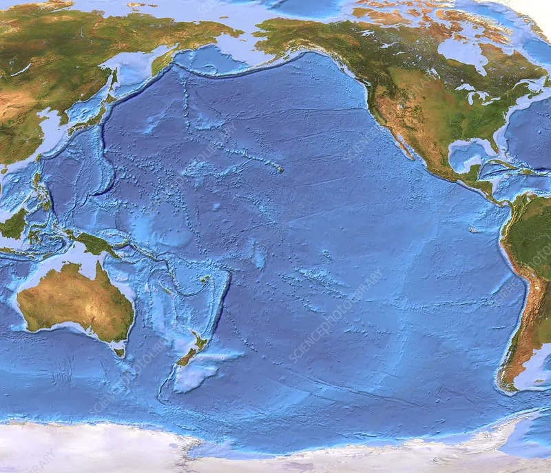 Photo: Pacific Ocean, via media.sciencephoto.com
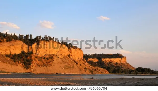 Photo: Billings, Montana, via www.shutterstock.com
The trouble started with three seemingly innocent words buried in the deed: "extending indefinitely westward."
The Discovery That Changed Everything
Fast-forward to 1983. Title examiner Janet Morrison was conducting routine research for a property sale when she noticed something odd about the Wickham ranch boundaries. The eastern, northern, and southern borders were described with typical surveyor precision—metes and bounds down to the foot. But the western edge? The original deed simply stated the property line ran "westward from marker stone 47 until reaching natural boundary."
There was just one problem: no natural boundary existed for hundreds of miles.
Morrison spent weeks cross-referencing historical maps, geological surveys, and territorial records. The "marker stone 47" mentioned in the deed sat on a gentle slope with absolutely nothing between it and the Continental Divide. And beyond that? More nothing, all the way to the Pacific coast.
"I kept thinking I was missing something obvious," Morrison later told reporters. "But the more I dug, the more I realized this deed was essentially claiming everything west of a fence post in Montana belonged to one family."
When Lawyers Meet the Absurd
The legal implications were staggering. If taken literally, the Wickham family's property claim stretched across Montana, Idaho, Washington, and technically didn't stop until hitting "natural boundary"—which could be interpreted as the Pacific Ocean itself.
By 1983, Harold Wickham had passed away, leaving the ranch to his son Robert, who was understandably confused when a title company informed him he might own portions of Seattle, Spokane, and several national forests.
"Dad always said we had good grazing land," Robert Wickham joked to the Billings Gazette. "But I don't think he meant underwater kelp forests."
The Montana Attorney General's office initially dismissed the claim as clerical nonsense, but property law experts weren't so sure. Professor William Hendricks of the University of Montana Law School pointed out that American property law was built on the principle that properly filed deeds, however flawed, carried legal weight until formally corrected.
The Government Scrambles
What followed was a bureaucratic comedy of errors that lasted eighteen months. The Bureau of Land Management claimed the original deed was invalid because it conflicted with federal territory. The Montana State Land Office argued the county clerk never had authority to deed federal land in the first place. The county insisted they were just recording what the seller provided.
Meanwhile, Robert Wickham found himself fielding calls from reporters asking if he planned to charge tolls for Interstate 90 or collect property taxes from Glacier National Park.
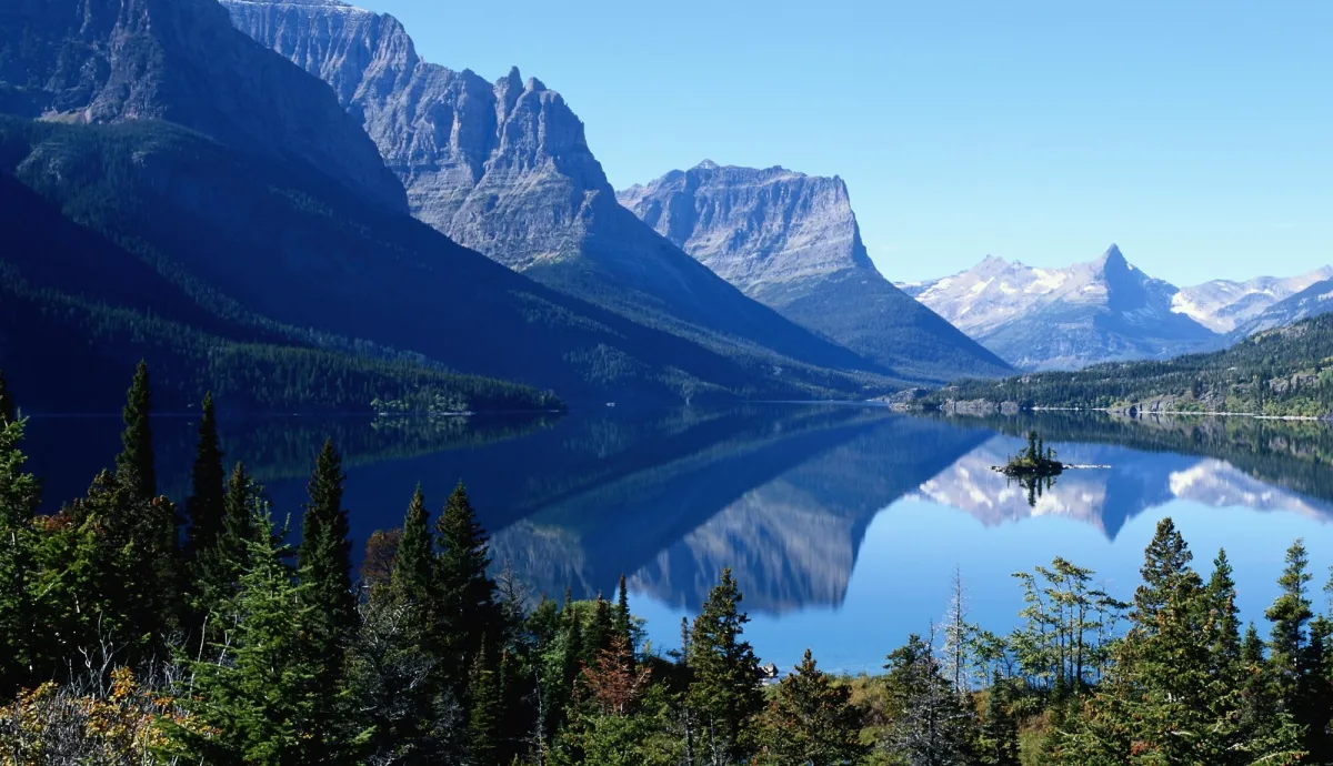 Photo: Glacier National Park, via mediaim.expedia.com
The situation became even more surreal when a maritime law professor at University of Washington calculated that, if the deed were valid, the Wickham family's theoretical Pacific Ocean holdings would include major shipping lanes worth billions in annual commerce.
Resolution Through Bureaucratic Magic
The mess was finally resolved in early 1985 through what legal scholars later called "aggressive creative interpretation." A joint federal-state commission ruled that the phrase "extending indefinitely westward" should be read as "extending westward to the limit of the original land grant," which they determined was exactly 2,400 acres—the size Harold Wickham thought he was buying in the first place.
Robert Wickham signed a corrected deed that precisely defined his western boundary at a point roughly half a mile from the original marker stone. In exchange, he received a modest settlement covering his legal fees and what officials called "inconvenience costs."
The Lesson in Sloppy Paperwork
The Wickham case became a cautionary tale taught in property law classes across the country. It revealed how America's entire system of land ownership rests on a foundation of paperwork that's often far more fragile than most people realize.
"We assume someone, somewhere, is keeping track of who owns what," explained Professor Hendricks. "But the Wickham ranch proved that sometimes nobody's actually checking the math."
The case also prompted Montana to overhaul its deed recording procedures and require additional verification for boundary descriptions. Similar reforms spread to other western states, where vast distances and sparse populations had historically led to casual approaches to property documentation.
Today, the Wickham ranch operates as a normal cattle operation with properly surveyed boundaries. But somewhere in the Montana State Archives sits the original deed that, for nearly four decades, technically gave one family claim to half the American West and a good portion of the Pacific Ocean.
As Robert Wickham put it: "Dad always said the land would be worth something someday. I just don't think he meant the entire West Coast."